Massif of Jura
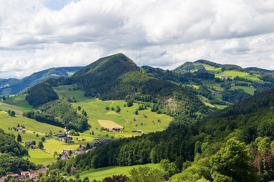
The Jura Massif forms a crescent-shaped chain, nearly 400 km long. Divided by the border between France and Switzerland, the massif is traditionally separated into two entities, the "French Jura" and the "Swiss Jura". Its surface area is estimated at approximately 14,000 km2, with 9,860 km2 in France and 4,140 km2 in Switzerland.
The French Jura is one of the six mountain ranges of metropolitan France. From an administrative point of view, it straddles the two regions of Bourgogne Franche-Comté and Auvergne Rhône-Alpes, and extends from the gates of Montbéliard in Doubs to Belley in Ain, passing through the Jura.
Haut-Jura Regional Natural Park
In the heart of its mountains, the Haut-Jura Regional Natural Park covers nearly 178,000 hectares. A mid-mountain area (2/3 of its surface area is above 800 m in altitude), it covers the highest peaks of the Haute-Chaîne du Jura National Nature Reserve, including the Crêt de la Neige at 1720 meters.
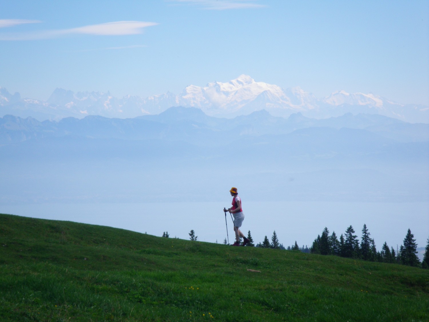
Thanks to the thousands of kilometers of marked trails, the Jura is a paradise for hikers.
In winter, snow covers the slopes and plateaus, offering beautiful snowshoeing or skating excursions through the fir trees.
Among the must-see sites on the French side are the emblematic Reculée de Baume-les-Messieurs, the Quatre Lacs and the Hérisson waterfalls.
The highest peaks in the Jura massif are the Reculet (1,718 m) and the Crêt de la Neige (1,720 m). You must be prepared to climb 950 m of elevation gain to reach their summits.
The Grande Traversée du Jura
The GR® 509-GTJ or Grande Traversée du Jura, links Mandeure, in the Doubs, to Culoz, in the Ain, on a 400-kilometer route, passing through the Doubs gorges, the Haut-Doubs, the Haut-Jura Regional Natural Park and Bugey.
The trail is passable from April from Mandeure to Villers-le-Lac and more generally from May to October depending on the snow cover at altitudes above 1,000 meters in Haut-Doubs, Haut-Jura and Ain.
To find out more about the GR® 509-GTJ, visit the website "MonGR.fr" managed by the French Hiking Federation.
The Jura Escape
The Jura Escape allows you to cross the Jura massif on foot from West to East, at the discovery of some of the greatest sites in the Franco-Swiss Jura. Made up of several marked GR® trails, this great itinerary covers 352 km.
Starting from the town of Dole, the Échappée Jurassienne joins the Station des Rousses where hikers can choose to take the Original route to cross the Haut-Jura and arrive at Saint-Claude while remaining exclusively in France or to take the Swiss route to reach the town of Nyon on the shores of Lake Geneva.
Ideal for beginning hiking tours, the Échappée Jurassienne offers flexible daily stages and the possibility of completing only part of the route in 3, 5, 10 or 15 days.
> Before going hiking in the Jura, don't forget to equip yourself properly: backpack, comfortable shoes, water bottles, hiking poles... Discover our range of hiking poles dedicated to the regions and massifs of France, and in particular our model "Massif du Jura".
> Don’t hesitate to consult our article "Choosing your hiking poles wisely".
Source: MonGR.fr ; https://www.montagnes-du-jura.fr/ ; Haut-Jura Regional Natural Park; Trek Magazine
.jpg)